

Walsall, West Midlands, England blue and orange vector art map template
– Mixed Media Vector Map Template –
Download information
Download information
PDF Full vector :
- 584 kB
- Infinitely scalable
- Royalty free license
Couldn't load pickup availability
About this item
About this item
*Depending on the license type, use this print template for personal use, professionally for advertising or printed for resale.
View full details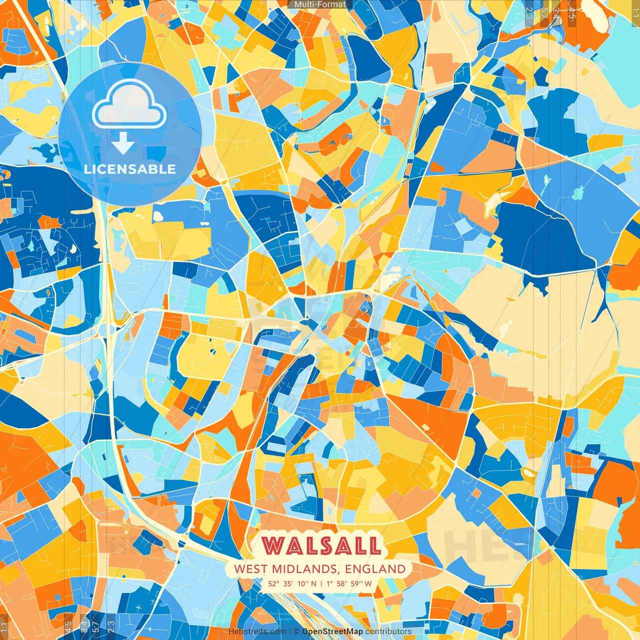
-
Municipality
Walsall, West Midlands, England
-
Created
2021-08-02 | SKU 558854
-
Sources
Map data © OpenStreetMap contributors
-
Coords
52° 35' 10'' N | 1° 58' 59'' W
lat: 52.586, lon: -1.983
-
Style
Borderless Square and Portrait
by Hebstreits.com
-
Download type
Mixed Media Vector Map Template
Instant download
You may also like more Walsall, West Midlands, England style
Keywords
City Plan, Main, Minor, Pdf, Walsall, West Midlands, area, art, arty, background, blue, bright, cartography, city, clean, colorful, colourful, decor, design, download, downloadable, editable, england, europe, graded, home, household, infographic, lake, light, line, map, modern, orange, pdf-template, plan, presentation, printable, pure, rails, region, road, roads, sea, shaded, small, street, streets, tones, town, urban, vector, wall art
All maps licenced as produced work under Open Database Licence (ODbL) 1.0. You are free to use the material in any medium or format for any purpose, even commercially. If you plan to resell the map on a print in addition to our licensing options, you will need to specify an appropriate credit such as © OpenStreetMap contributors.