

Telford, England, UK, Vector Map - Light
– Lightweight minimized art map –
Download information
Download information
EPS Full vector :
- 585 kB
- Infinitely scalable
- Royalty free license
JPG Large size :
- 2.1 MB
- 10.5 Megapixels
- Royalty free license
Couldn't load pickup availability
About this item
About this item
Telford downtown and surroundings Map in light shaded version with many details for high zoom levels. This map of Telford, England, United Kingdom, contains typical highways, roads, smaller streets and waterways with space for additional information.
*Depending on the license type, use this map for personal use, professionally for advertising or printed for resale.
View full details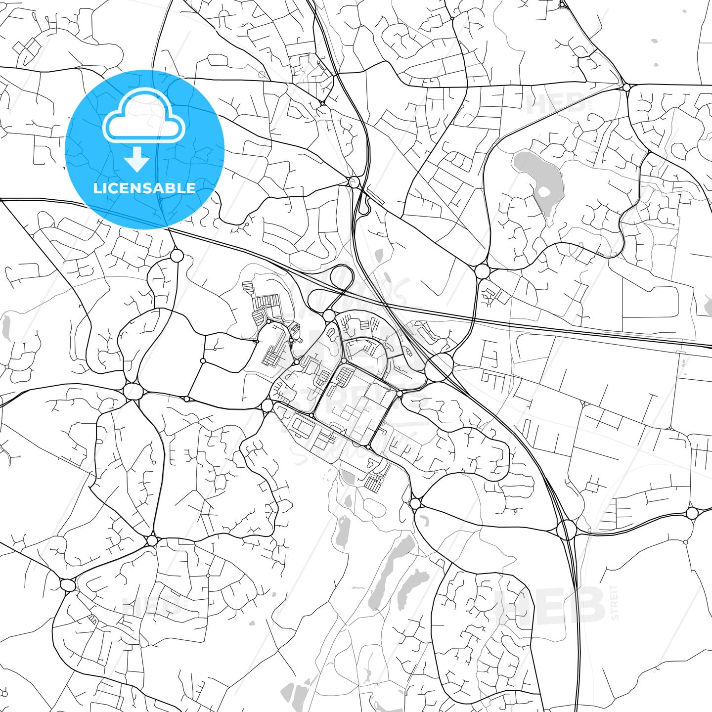
-
Municipality
© OpenStreetMap contributors
-
Archive No.
SKU 117079
-
Source type
Portrait | Raster map
-
Coords
52° 40' 42'' N | 2° 26' 43'' W
lat: 52.678, lon: -2.445
-
Style
Lightweight minimized art map
Web Mercator Projection
-
Sources from
© OpenStreetMap contributors
Design by HEBSTREITS.com
You may also like more Telford, West Midlands, England style
All maps licenced as produced work under Open Database Licence (ODbL) 1.0. You are free to use the material in any medium or format for any purpose, even commercially. If you plan to resell the map on a print in addition to our licensing options, you will need to specify an appropriate credit such as © OpenStreetMap contributors.