

Talcahuano, Chile, high resolution vector map - Instant download PDF and JPG
– Two-toned map with focus on water –
Download information
Download information
PDF High Resolution :
- 1285 kB
- Infinitely scalable
- Royalty free license
JPG Large size :
- 779 kB
- 9.9 Megapixels
- Royalty free license
Couldn't load pickup availability
About this item
About this item
Bright color vector map of Talcahuano, Chile, in high quality native resolution with city boundaries. All paths in the PDF vector version of our Talcahuano map are editable and come with bright outlines for main roads and highways and pure clean lines for rails and side streets. This map of Talcahuano is infinitely scalable and can be used for any print size.
*Depending on the license type, use this map for personal use, professionally for advertising or printed for resale.
View full details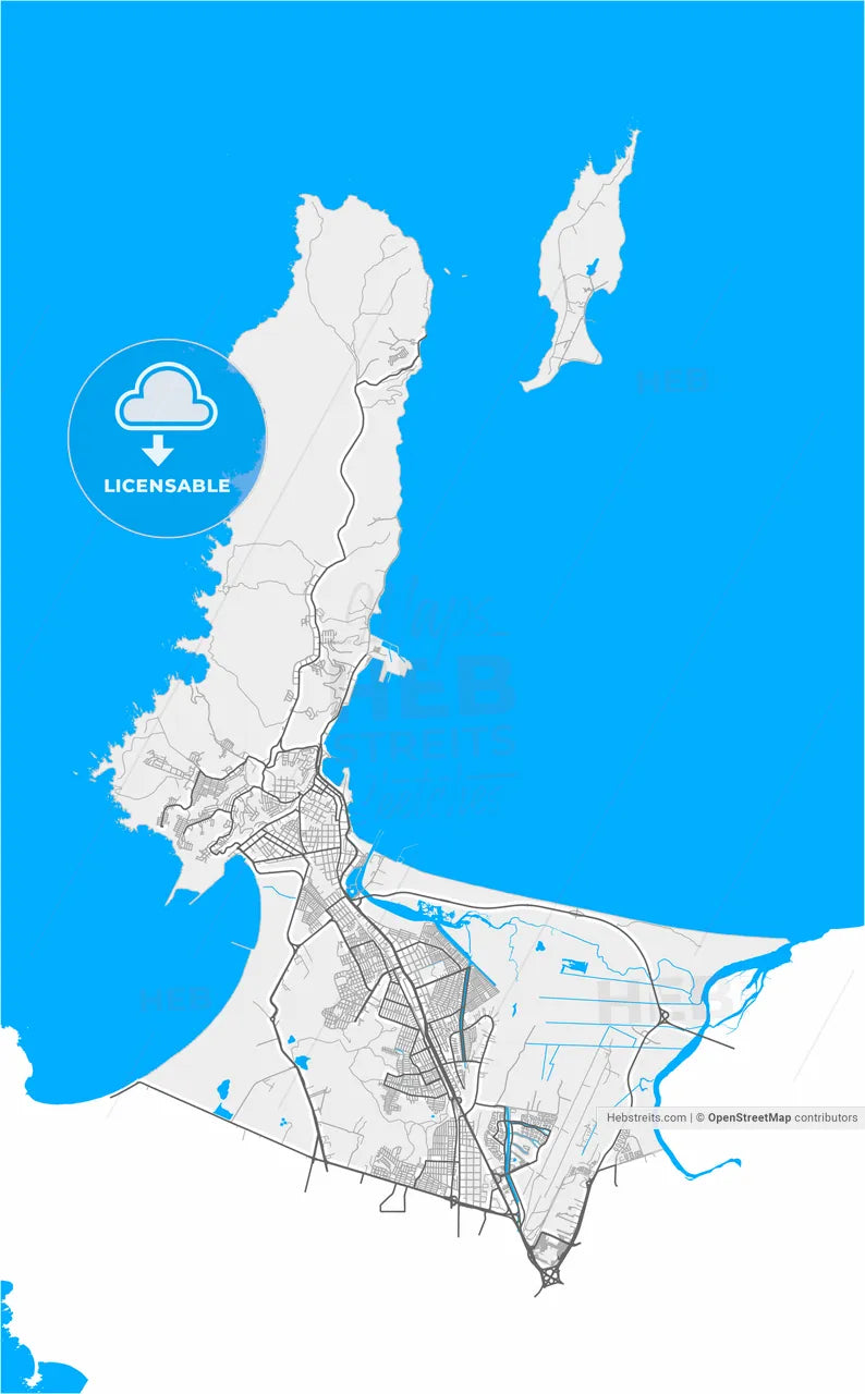
-
Municipality
© OpenStreetMap contributors
-
Archive No.
SKU 661142
-
Source type
Portrait | Vector map
-
Coords
36° 43' 29'' S | 73° 7' 1'' W
lat: -36.725, lon: -73.117
-
Style
Two-toned map with focus on water
Native OpenStreetMap extract
-
Sources from
© OpenStreetMap contributors
Design by HEBSTREITS.com
You may also like more Talcahuano, Chile style
All maps licenced as produced work under Open Database Licence (ODbL) 1.0. You are free to use the material in any medium or format for any purpose, even commercially. If you plan to resell the map on a print in addition to our licensing options, you will need to specify an appropriate credit such as © OpenStreetMap contributors.