

Street map of downtown Dallas, Texas
– Classic Bright Map Colors –
Download information
Download information
PDF Full vector :
- 2.8 MB
- Infinitely scalable
- Royalty free license
JPG Large size :
- 4.5 MB
- 10.2 Megapixels
- Royalty free license
Couldn't load pickup availability
About this item
About this item
Street map of downtown Dallas, Texas.
This vector streetmap of Dallas is made for an infographic background or as a travel sign. The classic colored PDF version includes clean lines for highways, major and minor roads as such as smaller streets and paths. The geographical shapes for water are filled with waving pattern lines.
*Depending on the license type, use this map for personal use, professionally for advertising or printed for resale.
View full details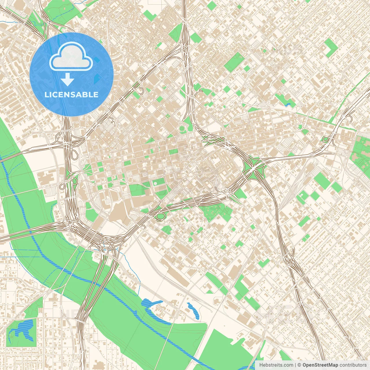
-
Municipality
© OpenStreetMap contributors
-
Archive No.
SKU 184516
-
Source type
Portrait | Vector map
-
Coords
32° 46' 36'' N | 96° 47' 49'' W
lat: 32.777, lon: -96.797
-
Style
Classic Bright Map Colors
Web Mercator Projection
-
Sources from
© OpenStreetMap contributors
Design by HEBSTREITS.com
You may also like more Dallas, Texas, United States style
All maps licenced as produced work under Open Database Licence (ODbL) 1.0. You are free to use the material in any medium or format for any purpose, even commercially. If you plan to resell the map on a print in addition to our licensing options, you will need to specify an appropriate credit such as © OpenStreetMap contributors.