

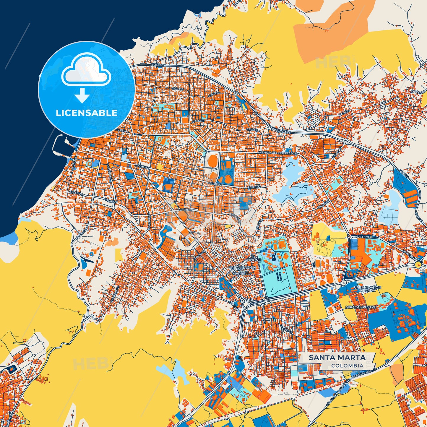
Colorful Santa Marta Street Map with Labels and Buildings
– Raster map –
Download information
Download information
Map only - JPG XL size :
- 4.9 MB
- 36 Megapixels
- Royalty free license
PDF Print Template :
- 5.2 MB
- 36 Megapixels
- Royalty free license
Couldn't load pickup availability
About this item
About this item
Colorful Santa Marta Art Map with Labels and Buildings with many details for urban roads, paths and disctricts.
Features: Ultra high resolution (36MP) - Sharp detail, suitable for large prints, Includes street names - Easy navigation and reference, Creative Colorful blue-orange design - Ideal for posters, prints and design projects - Access immediately after purchase
Whether you are a traveler, an urban design enthusiast or a collector of city maps, this Santa Marta map is a stylish and creative addition to any project. Download now and discover Santa Marta with a modern cartographic touch!
*Depending on the license type, use this map for personal use, professionally for advertising or printed for resale.
View full details
-
Municipality
Labeled OpenStreetMap Excerpt
-
Archive No.
SKU 1024334
-
Source type
Square format | Colorful labeled city map
-
Coords
11° 14' 25'' N | 74° 12' 40'' W
lat: 11.240, lon: -74.211
-
Style
Raster map
Web Mercator Projection
-
Sources from
Labeled OpenStreetMap Excerpt
Design by HEBSTREITS.com
You may also like more Santa Marta, Colombia style
All maps licenced as produced work under Open Database Licence (ODbL) 1.0. You are free to use the material in any medium or format for any purpose, even commercially. If you plan to resell the map on a print in addition to our licensing options, you will need to specify an appropriate credit such as © OpenStreetMap contributors.