

Rugby, England Vector Map - Classic Colors
– Classic Bright Map Colors –
Download information
Download information
PDF Full vector :
- 901 kB
- Infinitely scalable
- Royalty free license
JPG Large size :
- 968 kB
- 10.2 Megapixels
- Royalty free license
Couldn't load pickup availability
About this item
About this item
This printable Rugby, England Vector Map - Classic Colors with major and minor roads is carefully designed for routing and placing individual data. The PDF vector version of this map is freely scalable, i.e. you can use this map for marketing backgrounds, websites as well as for posters and wall art.
*Depending on the license type, use this map for personal use, professionally for advertising or printed for resale.
View full details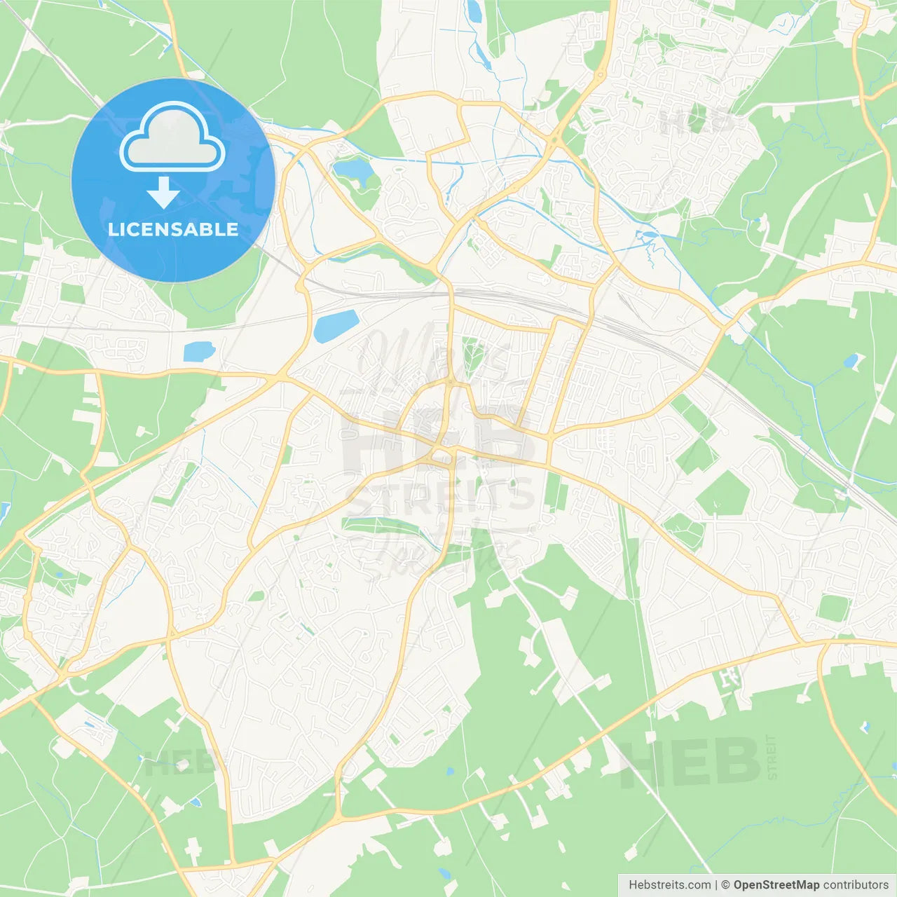
-
Municipality
© OpenStreetMap contributors
-
Archive No.
SKU 217894
-
Source type
Portrait | Vector map
-
Coords
52° 22' 15'' N | 1° 15' 54'' W
lat: 52.371, lon: -1.265
-
Style
Classic Bright Map Colors
Web Mercator Projection
-
Sources from
© OpenStreetMap contributors
Design by HEBSTREITS.com
You may also like more Rugby, West Midlands, England style
All maps licenced as produced work under Open Database Licence (ODbL) 1.0. You are free to use the material in any medium or format for any purpose, even commercially. If you plan to resell the map on a print in addition to our licensing options, you will need to specify an appropriate credit such as © OpenStreetMap contributors.