

Palangka Raya, Indonesia PDF vector map with water in focus
– Two-toned map with focus on water –
Download information
Download information
PDF Full vector :
- 159 kB
- Infinitely scalable
- Royalty free license
JPG Large size :
- 1665 kB
- 10.2 Megapixels
- Royalty free license
Couldn't load pickup availability
About this item
About this item
Vector map of Palangka Raya, Central Kalimantan, Indonesia with emphasis on water areas with fine structures and patterns. This printable map of Palangka Raya with the most important main and secondary roads can be used as background and can be supplemented with further information and elements. The pure PDF vector version of this map is fully scalable. Depending on our license you can use this map for websites, marketing projects and wall-mounted images.
*Depending on the license type, use this map for personal use, professionally for advertising or printed for resale.
View full details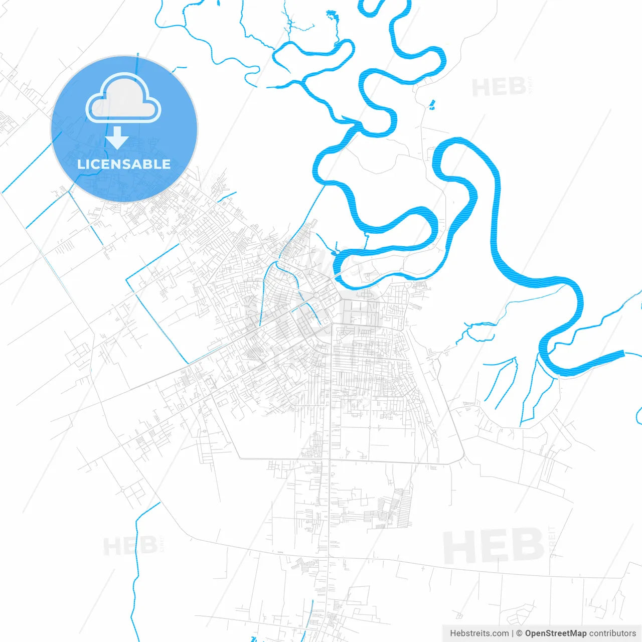
-
Municipality
Palangka Raya, Central Kalimantan, Indonesia
-
Archive No.
SKU 451572
-
Source type
Portrait | Vector map
-
Coords
2° 12' 58'' S | 113° 54' 50'' E
lat: -2.216, lon: 113.914
-
Style
Two-toned map with focus on water
Web Mercator Projection
-
Sources from
© OpenStreetMap contributors
Design by HEBSTREITS.com
You may also like more Palangka Raya, Central Kalimantan, Indonesia style
All maps licenced as produced work under Open Database Licence (ODbL) 1.0. You are free to use the material in any medium or format for any purpose, even commercially. If you plan to resell the map on a print in addition to our licensing options, you will need to specify an appropriate credit such as © OpenStreetMap contributors.