

Map of Beata Island Island
– Two-toned map with focus on water –
Download information
Download information
EPS Full vector :
- 319 kB
- Infinitely scalable
- Royalty free license
JPG Large size :
- 176 kB
- 10.2 Megapixels
- Royalty free license
Couldn't load pickup availability
About this item
About this item
Map of Beata Island Island, Dominican Republic, contains geography outlines for land mass, water, major roads and minor roads.
*Depending on the license type, use this map for personal use, professionally for advertising or printed for resale.
View full details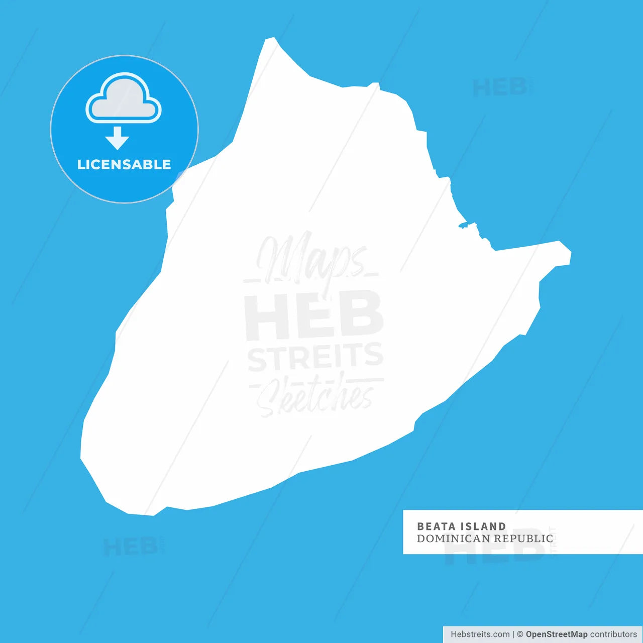
-
Municipality
Beata Island Island
-
Archive No.
SKU 159276
-
Source type
Portrait | Raster map
-
Coords
17° 34' 14'' N | 71° 30' 47'' W
lat: 17.57, lon: -71.513
-
Style
Two-toned map with focus on water
Web Mercator Projection
-
Sources from
© OpenStreetMap contributors
Design by HEBSTREITS.com
You may also like more Beata Island Island style
All maps licenced as produced work under Open Database Licence (ODbL) 1.0. You are free to use the material in any medium or format for any purpose, even commercially. If you plan to resell the map on a print in addition to our licensing options, you will need to specify an appropriate credit such as © OpenStreetMap contributors.