

Layered PDF map of Tula, Tula Oblast, Russia
– Lightweight layered art map –
Download information
Download information
PDF High Resolution :
- 1148 kB
- Infinitely scalable
- Royalty free license
JPG XL size :
- 5.2 MB
- 36.0 Megapixels
- Royalty free license
Couldn't load pickup availability
About this item
About this item
Light color vector map of Tula, Tula Oblast, Russia, in high quality native resolution. ll paths in the PDF vector version of our Tula map are editable and separated into layers for major and minor roads, water lines and shapes, railways and minor roads where available. This Tula map is fully scalable to any print size.
*Depending on the license type, use this map for personal use, professionally for advertising or printed for resale.
View full details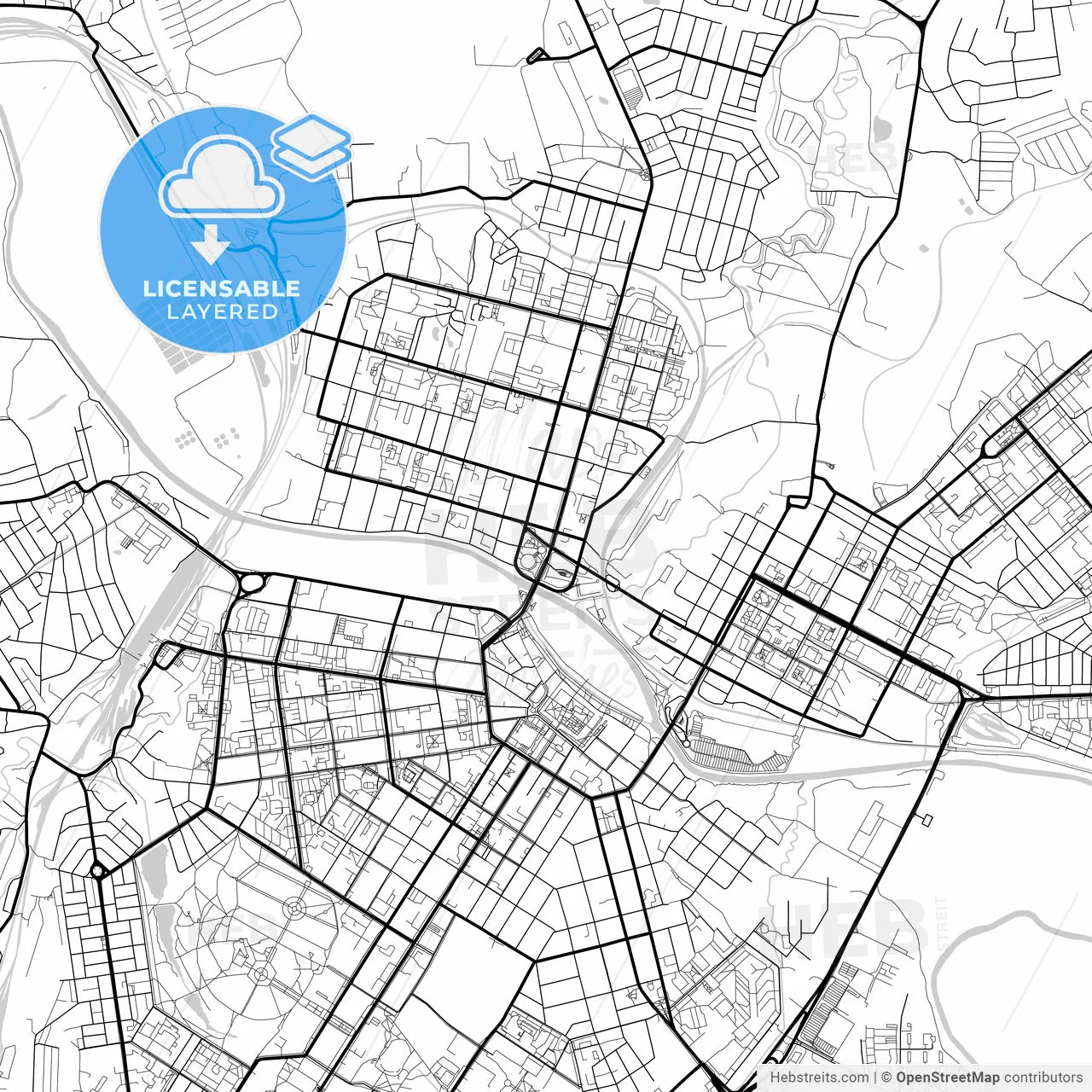
-
Municipality
© OpenStreetMap contributors
-
Archive No.
SKU 801792
-
Source type
Square Portrait | Vector map
-
Coords
54° 12' 17'' N | 37° 37' 7'' E
lat: 54.205, lon: 37.618
-
Style
Lightweight layered art map
Native OpenStreetMap extract
-
Sources from
© OpenStreetMap contributors
Design by HEBSTREITS.com
You may also like more Tula, Tula Oblast, Russia style
All maps licenced as produced work under Open Database Licence (ODbL) 1.0. You are free to use the material in any medium or format for any purpose, even commercially. If you plan to resell the map on a print in addition to our licensing options, you will need to specify an appropriate credit such as © OpenStreetMap contributors.