

Huddersfield, England bright two-toned vector map
– Two-toned map with focus on water –
Download information
Download information
PDF Full vector :
- 541 kB
- Infinitely scalable
- Royalty free license
JPG Large size :
- 2.1 MB
- 10.3 Megapixels
- Royalty free license
Couldn't load pickup availability
About this item
About this item
Bright vector map of Huddersfield, England with fine tuning between road and water. Use this map as a background for your company or as a high-quality interior design. The PDF vector version of this map is openly editable, i.e. you can redesign and adapt all elements.
*Depending on the license type, use this map for personal use, professionally for advertising or printed for resale.
View full details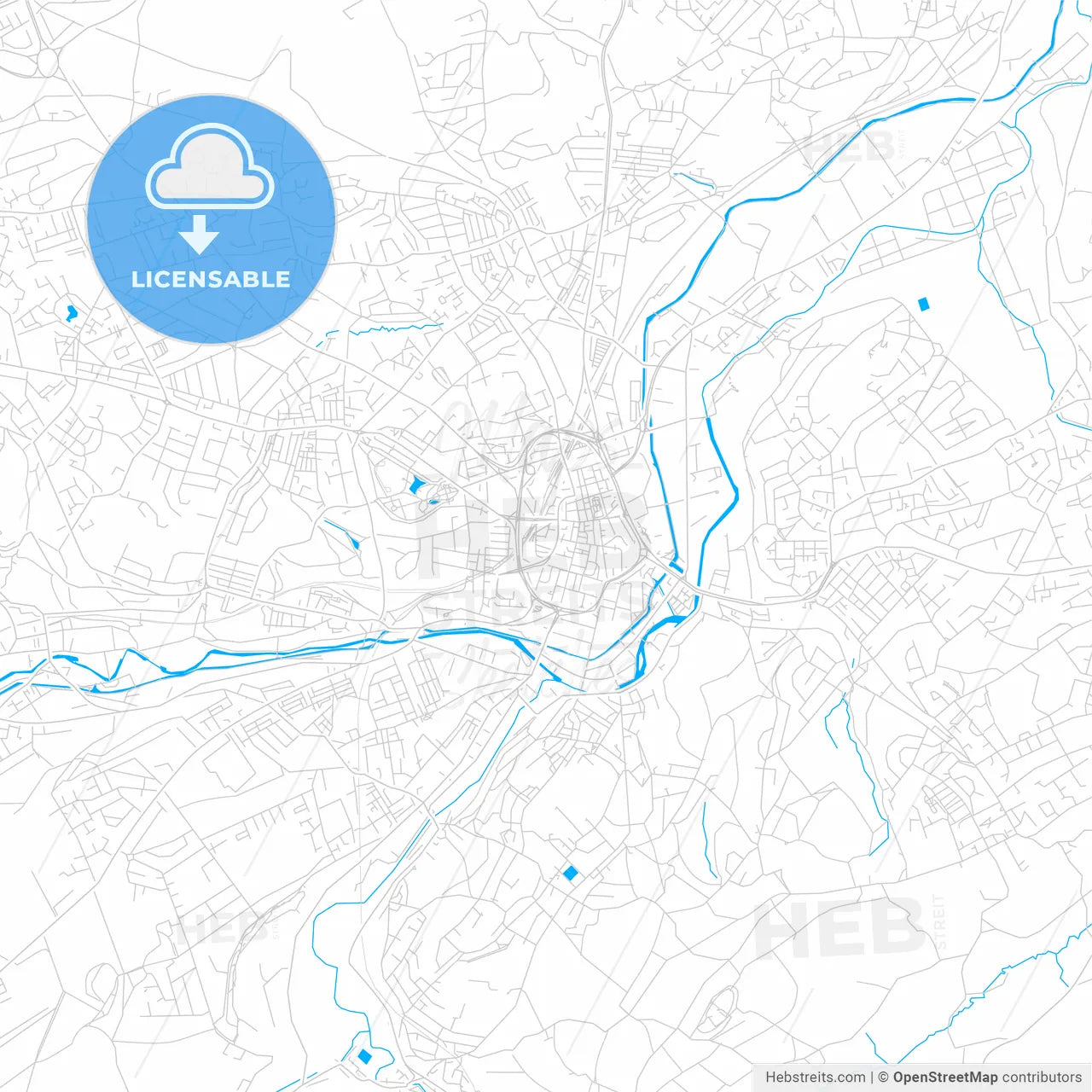
-
Municipality
© OpenStreetMap contributors
-
Archive No.
SKU 306931
-
Source type
Portrait | Vector map
-
Coords
53° 38' 45'' N | 1° 47' 6'' W
lat: 53.646, lon: -1.785
-
Style
Two-toned map with focus on water
Web Mercator Projection
-
Sources from
© OpenStreetMap contributors
Design by HEBSTREITS.com
You may also like more Huddersfield, Yorkshire and the Humber, England style
All maps licenced as produced work under Open Database Licence (ODbL) 1.0. You are free to use the material in any medium or format for any purpose, even commercially. If you plan to resell the map on a print in addition to our licensing options, you will need to specify an appropriate credit such as © OpenStreetMap contributors.