

Herzogenrath, Germany printable street map
– Classic Bright Map Colors –
Download information
Download information
PDF Full vector :
- 1032 kB
- Infinitely scalable
- Royalty free license
JPG Large size :
- 1918 kB
- 10.2 Megapixels
- Royalty free license
Couldn't load pickup availability
About this item
About this item
Herzogenrath, Germany printable street map
This classic style map of Herzogenrath contains all relevant landmarks for motorways, roads and railways. Use this map for any kind of info graphics and marketing, such as a website background or print publications.
*Depending on the license type, use this map for personal use, professionally for advertising or printed for resale.
View full details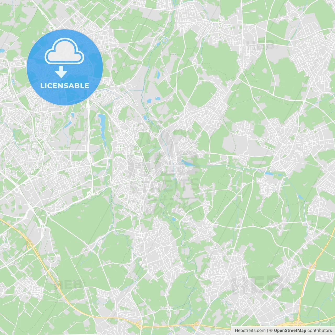
-
Municipality
© OpenStreetMap contributors
-
Archive No.
SKU 192805
-
Source type
Portrait | Vector map
-
Coords
50° 51' 54'' N | 6° 5' 28'' E
lat: 50.865, lon: 6.091
-
Style
Classic Bright Map Colors
Web Mercator Projection
-
Sources from
© OpenStreetMap contributors
Design by HEBSTREITS.com
You may also like more Herzogenrath, North Rhine-Westphalia, Germany style
All maps licenced as produced work under Open Database Licence (ODbL) 1.0. You are free to use the material in any medium or format for any purpose, even commercially. If you plan to resell the map on a print in addition to our licensing options, you will need to specify an appropriate credit such as © OpenStreetMap contributors.