

Hannover, Germany, vector map with buildings
– Lightweight minimized art map –
Download information
Download information
EPS Full vector :
- 3.6 MB
- Infinitely scalable
- Royalty free license
JPG Large size :
- 5.4 MB
- 10.5 Megapixels
- Royalty free license
Couldn't load pickup availability
About this item
About this item
Hannover, Germany, vector map with buildings This map of Hannover contains very detailed landmarks for highways, roads and railways combined with typical forms for buildings. Use this card for any type of infographic and marketing, such as a website background or in print publishing.
*Depending on the license type, use this map for personal use, professionally for advertising or printed for resale.
View full details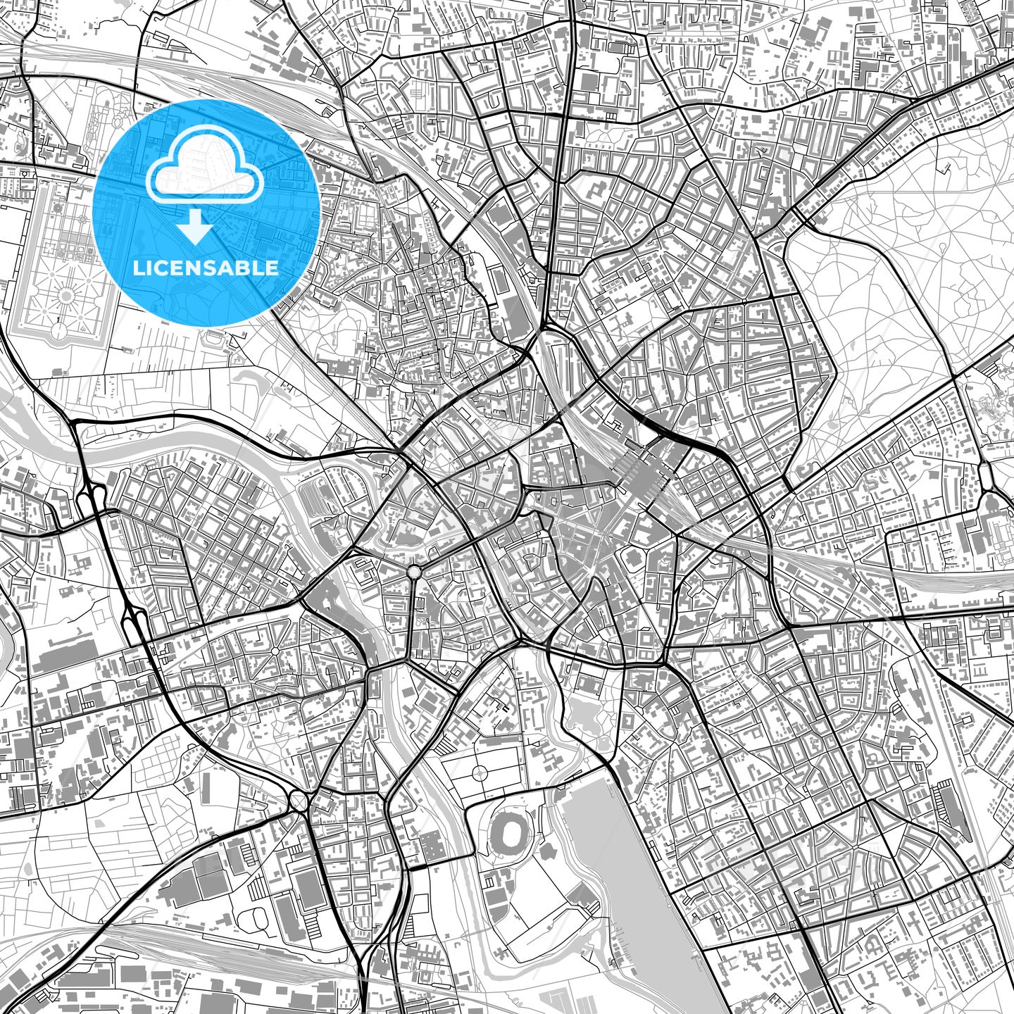
-
Municipality
© OpenStreetMap contributors
-
Archive No.
SKU 118494
-
Source type
Portrait | Raster map
-
Coords
52° 22' 33'' N | 9° 43' 55'' E
lat: 52.376, lon: 9.732
-
Style
Lightweight minimized art map
Web Mercator Projection
-
Sources from
© OpenStreetMap contributors
Design by HEBSTREITS.com
You may also like more Hannover, Lower Saxony, Germany style
All maps licenced as produced work under Open Database Licence (ODbL) 1.0. You are free to use the material in any medium or format for any purpose, even commercially. If you plan to resell the map on a print in addition to our licensing options, you will need to specify an appropriate credit such as © OpenStreetMap contributors.