Extra Vector Layer – Add Design Layers | Custom Vector Map Upgrade
Couldn't load pickup availability
How to use this service
How to use this service
Do you need extra data or want to separate areas you don't see on our maps?
Feel free to order a Custom map (JPG) as Vector file:
- Vector PDF Upgrade from JPG (one layer)
Feel free to add single layers such as:
- Minor paths and living streets
- Parks and nature reserves
- Golf and sports areas
- Islands and islets
- Water areas
- Airports
- City boundaries
- Buildings
- .. ask for more if necessary
Use this upgrade for our Custom Vector Map Service. The details are added as an extra layer to your existing map.
Please note: The labels and street names are given as paths in the vector file and cannot be edited as text.
Note: This upgrade does not affect the license terms of the purchased media.
HEBSTREITS Custom Vector Map Service is a premier provider of meticulously crafted, high-resolution, hand-crafted vector maps available under various digital licenses. Our service is designed for individuals and businesses seeking high quality, customizable maps for a variety of purposes.
Add extras to your Custom Vector Map
-
Extra Naming Layer – Add Selected Labels | Custom Vector Map Upgrade
Regular price From $34.00 USDRegular priceUnit price per -
Extra Vector Layer – Add Design Layers | Custom Vector Map Upgrade
Regular price From $22.00 USDRegular priceUnit price per -
Custom Recolor Upgrade – Adjust Map Style | | Custom Vector Map Upgrade
Regular price $119.00 USDRegular priceUnit price per -
Detail Upgrade – Add All Details From Highest Zoom Level | Custom Vector Map Upgrade
Regular price $59.00 USDRegular priceUnit price per
You ask - we answer.
FAQ
Why are your custom vector maps not available for immediate download?
We focus on vector maps as high-resolution templates with an individual handmade touch.
For this purpose we use raw data, which is necessary for the demand-oriented design - since this exported data is very time-consuming to process, we decided to use a workflow without direct export of the maps.
Does the supplied vector map have the same level of detail as the website preview?
The underlying data of the preview map and the vector map may vary in terms of publication time and level distinction. We guarantee a 95% match of the delivered end product and the preview map.
Do you create custom map styles on request?
No, we do not create individual map styles on request.
I would like to resell printed maps. How should I credit you?
Our map renderings are based on the Open Streetmap contributor database ODbL. ODbL has a concept called “Produced Work”. If you add rendered map data to your own design, you may wish to use “Map data © OpenStreetMap contributors”.
-
Editable maps with ease of use.
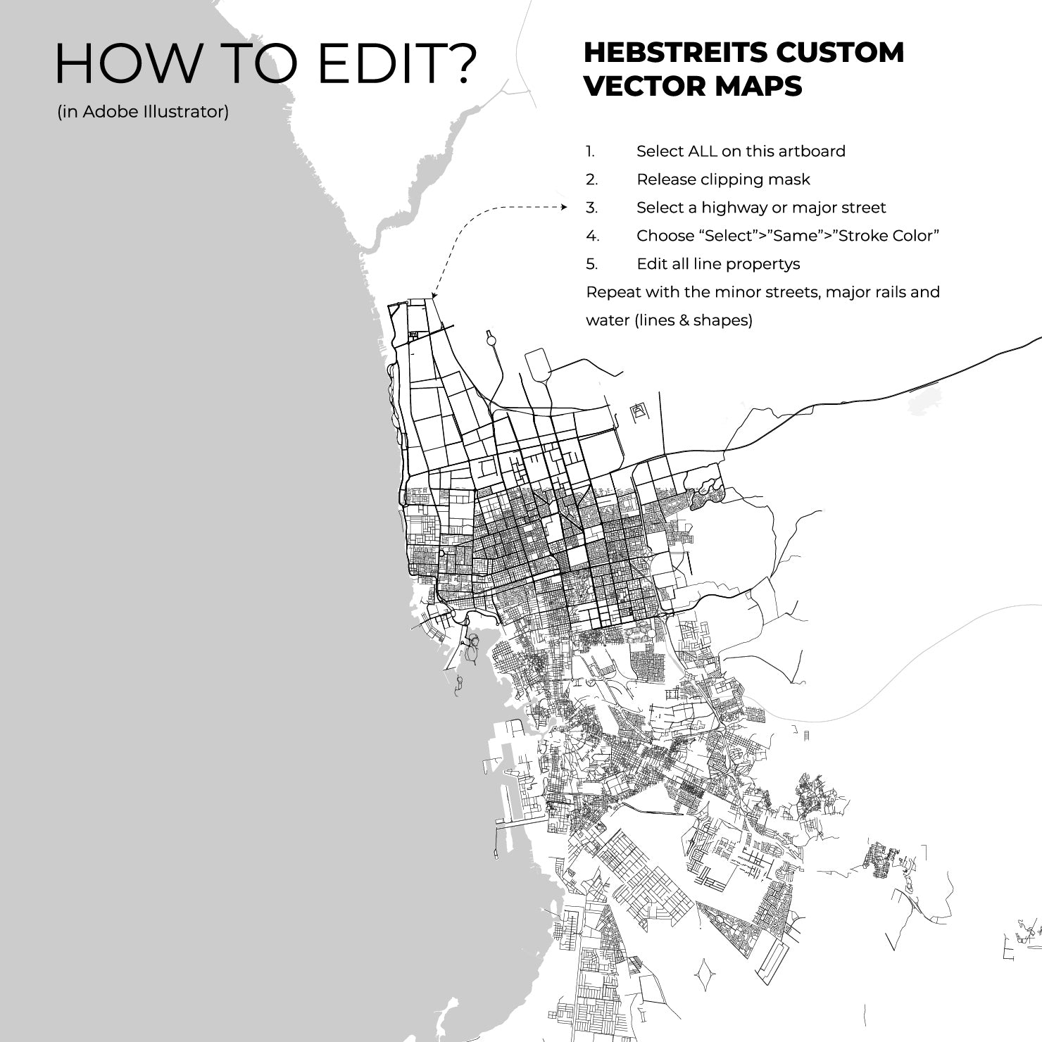
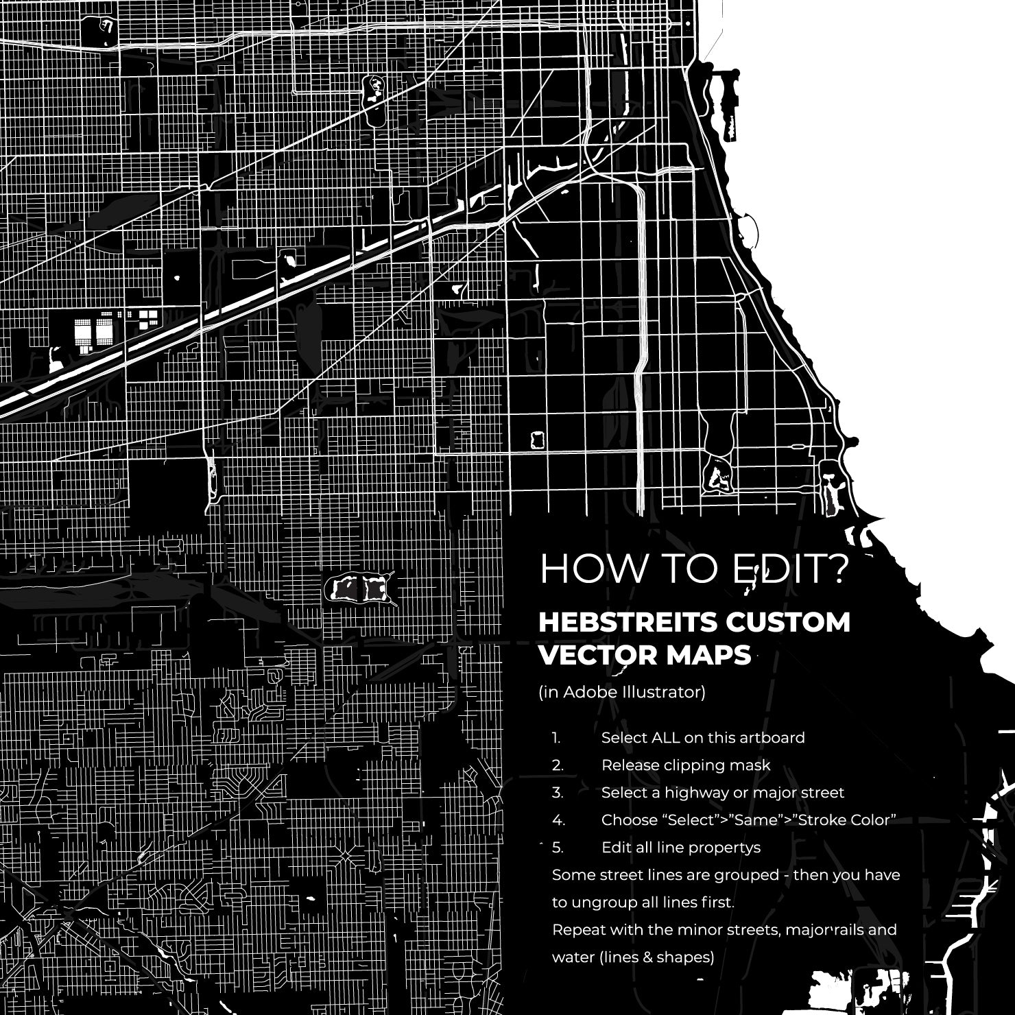
Add any information, create a personal advertising map or a unique sign that can be printed an unlimited number of times. You would like to have your map data grouped or show additional details? We can add names to your map and transfer the individual elements to layers.
-
Vector maps with ultra-high resolution.
If you have a powerful computer and want to edit a lot of data, you can now choose our new V2.0 Map Path Quantity. This brings you a very detailed vector map for murals that you can further process in the highest resolution.
All maps licenced as produced work under Open Database Licence (ODbL) 1.0. You are free to use the material in any medium or format for any purpose, even commercially. If you plan to resell the map on a print in addition to our licensing options, you will need to specify an appropriate credit such as © OpenStreetMap contributors.

