

Brno light vector map
– Lightweight minimized art map –
Download information
Download information
PDF Full vector :
- 1575 kB
- Infinitely scalable
- Royalty free license
JPG Large size :
- 1897 kB
- 10.2 Megapixels
- Royalty free license
Couldn't load pickup availability
About this item
About this item
Brno, Czech Republic, light vector map. South Moravian Region.
This vector artmap of Brno contains geography lines for land mass, water, major and minor roads. The open PDF format is editable and usable for high quality prints or enriched infographics. Feel free to adjust colors and mood.
*Depending on the license type, use this map for personal use, professionally for advertising or printed for resale.
View full details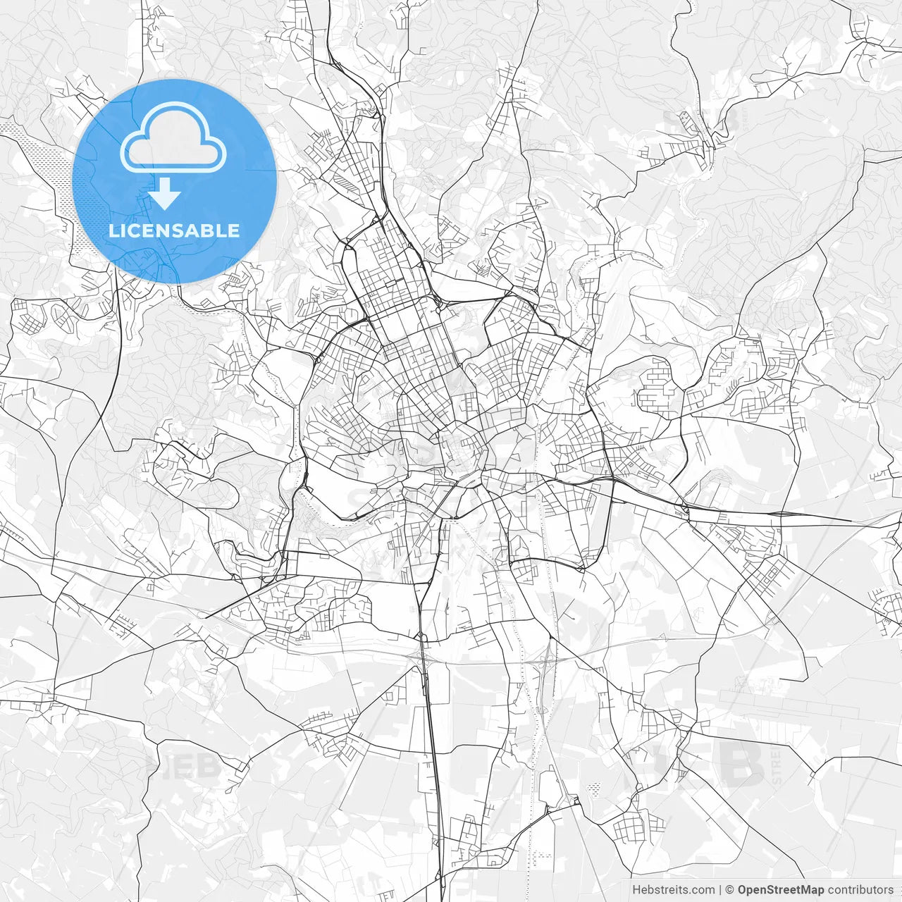
-
Municipality
© OpenStreetMap contributors
-
Archive No.
SKU 184177
-
Source type
Portrait | Vector map
-
Coords
49° 11' 42'' N | 16° 36' 25'' E
lat: 49.195, lon: 16.607
-
Style
Lightweight minimized art map
Web Mercator Projection
-
Sources from
© OpenStreetMap contributors
Design by HEBSTREITS.com
You may also like more Brno, South Moravian Region, Czechia style
All maps licenced as produced work under Open Database Licence (ODbL) 1.0. You are free to use the material in any medium or format for any purpose, even commercially. If you plan to resell the map on a print in addition to our licensing options, you will need to specify an appropriate credit such as © OpenStreetMap contributors.