

Printable street map of Resistencia, Argentina
– Classic Bright Map Colors –
Download information
Download information
PDF Full vector :
- 1148 kB
- Infinitely scalable
- Royalty free license
JPG Large size :
- 3.9 MB
- 10.2 Megapixels
- Royalty free license
Couldn't load pickup availability
About this item
About this item
Printable street map of Resistencia, Argentina.
This printable road map of Resistencia was created in the classic web colors for infographic backgrounds. Feel free to add colorful pointers, text, pins or routing information to this map of Resistencia. The PDF version includes editable lines for highways, major and minor roads as such as bigger railways. This editable map asset comes without any naming and geographical data.
This map shows the main urban features of the city center of Resistencia and the main features of the surrounding area.
If you need an even higher level of detail or a different map section of Resistencia or an adjacent community, visit our Custom Vector Map Service. Here you can customize and order your own Resistencia map in in various styles in ultra-high resolution.
*Depending on the license type, use this map for personal use, professionally for advertising or printed for resale.
View full details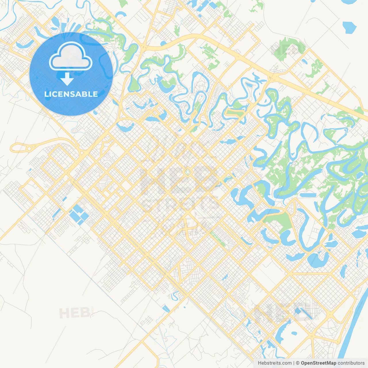
-
Municipality
Resistencia, Argentina
-
Archive No.
SKU 286772
-
Source type
Portrait | Vector map
-
Coords
27° 27' 7'' S | 58° 59' 8'' W
lat: -27.452, lon: -58.986
-
Style
Classic Bright Map Colors
Web Mercator Projection
-
Sources from
© OpenStreetMap contributors
Design by HEBSTREITS.com
You may also like more Resistencia, Argentina style
All maps licenced as produced work under Open Database Licence (ODbL) 1.0. You are free to use the material in any medium or format for any purpose, even commercially. If you plan to resell the map on a print in addition to our licensing options, you will need to specify an appropriate credit such as © OpenStreetMap contributors.