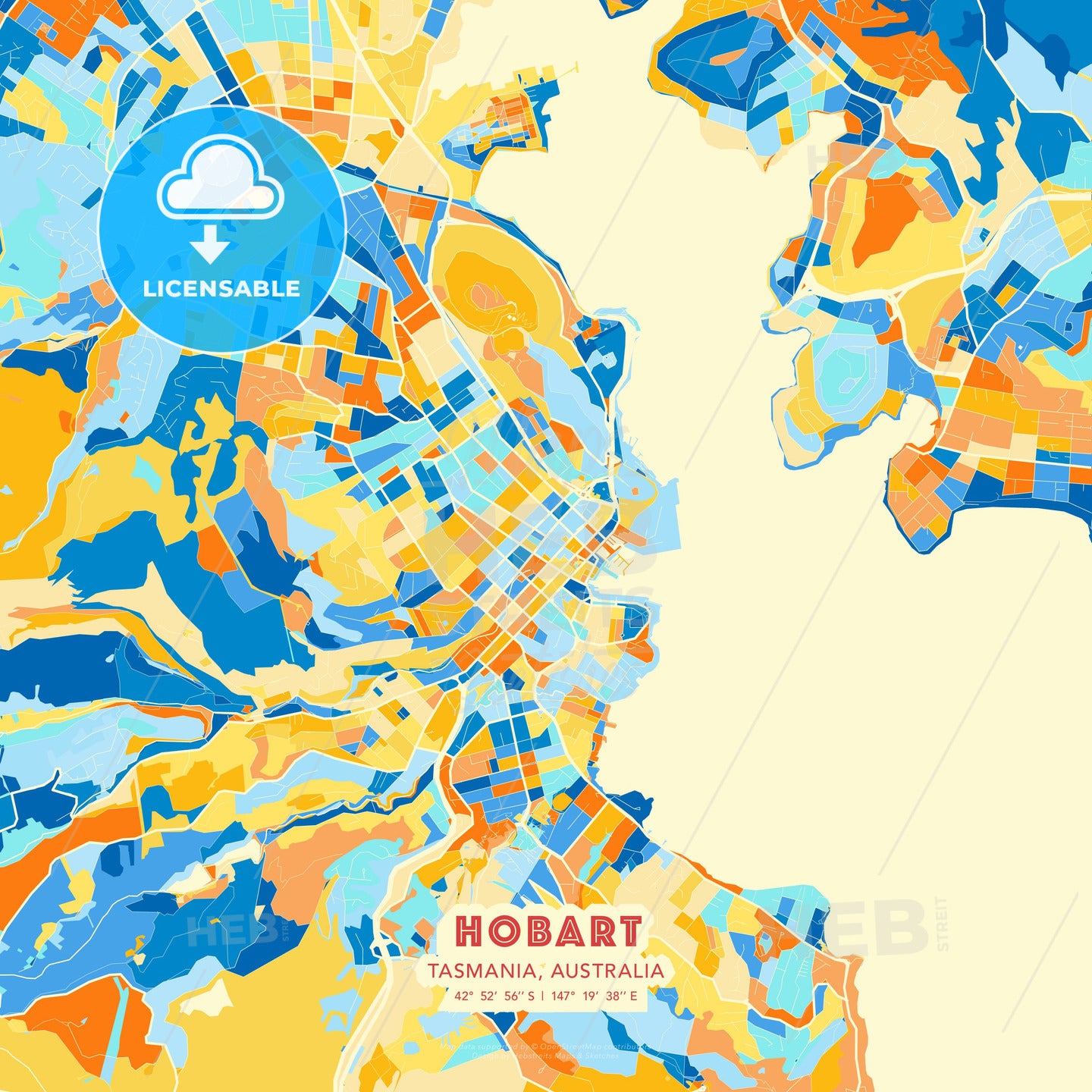
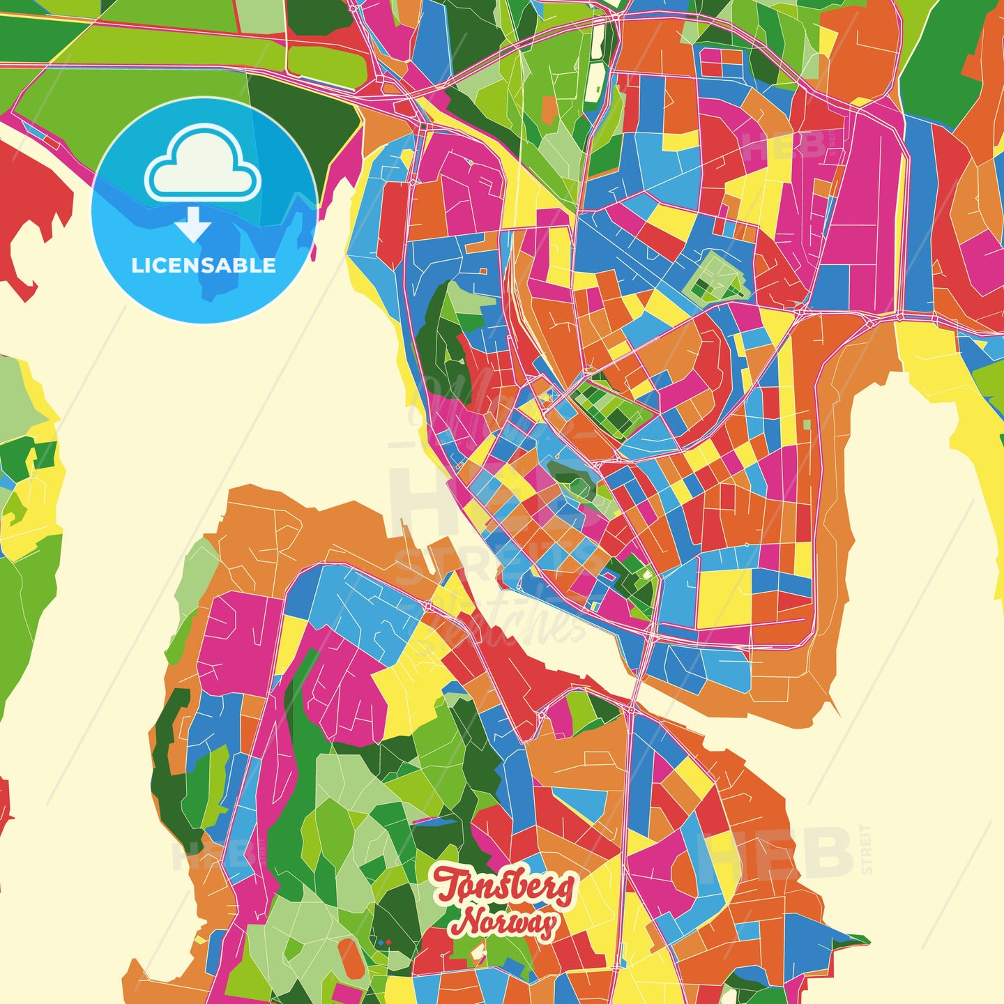
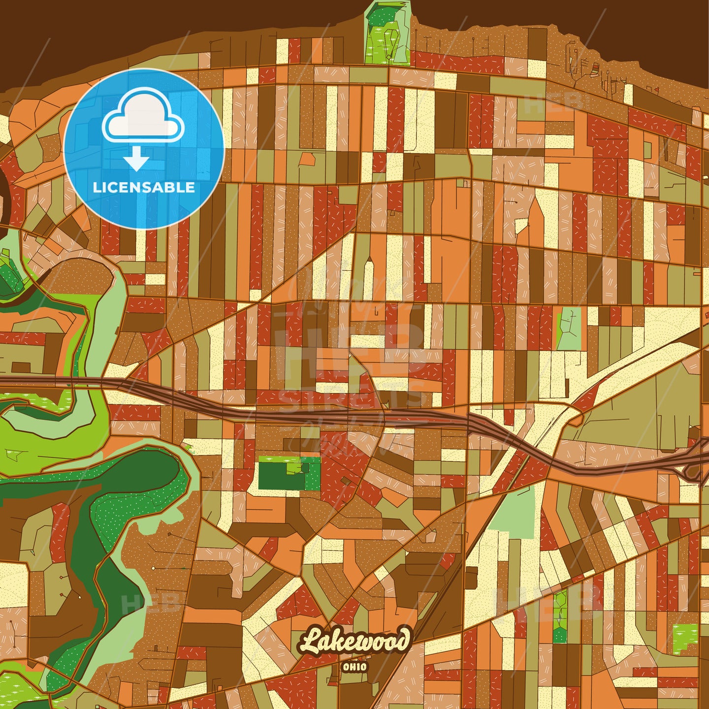
Keywords
Add a taglineHoffmanEstates, Main, Minor, Pdf, Territory, United States, area, art, background, bright, cartography, city, city border, cityscape, clean, color, crossroad, decor, decorative, design, detailed, district, download, downloadable, downtown, editable, flat, geography, graded, graphic, grey, high-quality-pdf, highway, home, household, illinois, illustration, image, infographic, lake, land, lane, light, line, linear, location, map, modern, native, navigation, north america, pathway, place, plan, presentation, printable, pure, rails, region, resolution, river, road, roadmap, roads, royalty free, sea, shaded, shape, small, street, streets, tones, topography, tourist, town, travel, urban, vector, wall art, water, white, PDF vector city maps, High-quality city maps, Editable vector maps, City boundaries PDF maps, Native resolution city maps, Bright outline roads and highways, Clean line rails and side streets, Digital download city maps, Printable vector maps, Urban city map PDFs, High-resolution city boundaries, Bright-lined city roads, Editable city street maps, Detailed vector rail maps, Native format urban maps, City map with highways, Clean line city streets, Vector city maps collection, PDF map downloads, Customizable city maps, High-quality city outlines, Editable PDF urban maps, Bright-lined city highways, Printable city boundaries, City rail system PDF, Native resolution urban plans, PDF vector map series, City maps with landmarks, Customizable PDF vector maps, High-resolution road networks, Editable cityscape PDFs, Bright-lined urban highways, PDF rail and street maps, Clean line city rail networks, Vector city map bundles, High-quality PDF streetscapes, Editable city infrastructure, Bright outline city streets, Printable rail and road maps, Native resolution urban layouts, PDF vector rail networks, Customizable street maps, High-quality cityscapes, Editable city roadways, Bright-lined city streetscapes, PDF map bundles, Clean line urban rail systems, Vector city outlines, High-resolution PDF maps, Editable urban transportation