

Explore our refined assembly of city map styles and print templates
-
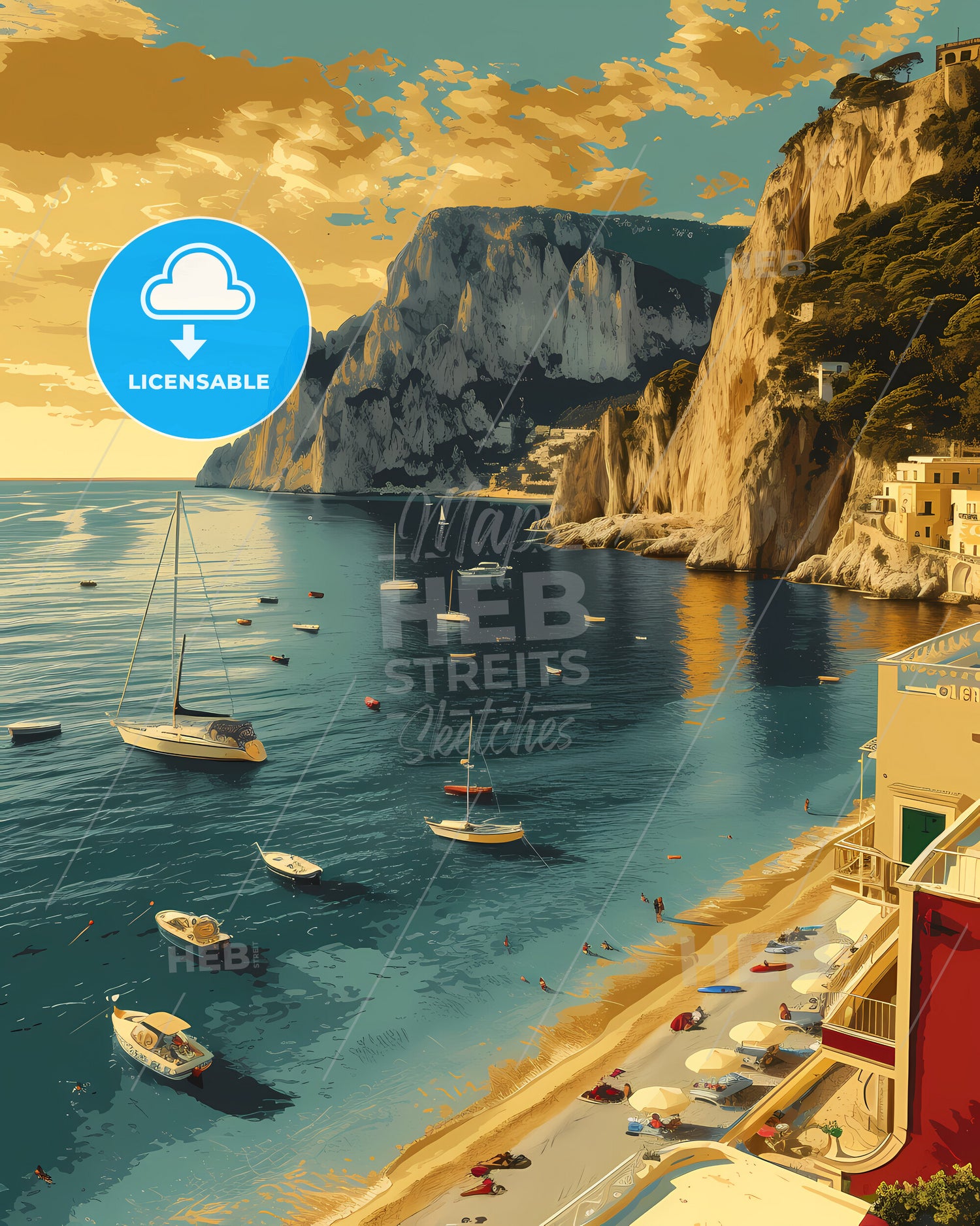
Light Layered Maps
HEBSTREITS Light layered maps collection is an intricately designed series of maps...


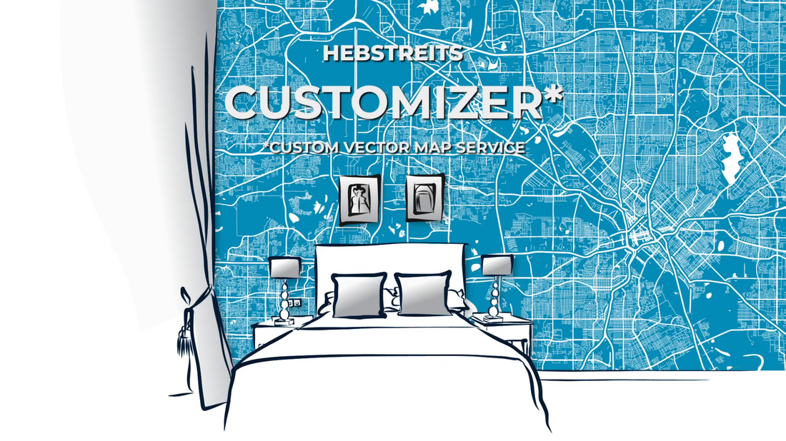
CUSTOM HIGH-RESOLUTION MAPS
Keywords
All maps licenced as produced work under Open Database Licence (ODbL) 1.0. You are free to use the material in any medium or format for any purpose, even commercially. If you plan to resell the map on a print in addition to our licensing options, you will need to specify an appropriate credit such as © OpenStreetMap contributors.